
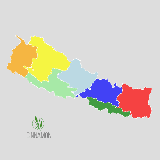
Administrative Boundary of Nepal
We are pleased to introduce a newly developed free web-based map of Nepal’s administrative boundaries, designed to serve...
Projected Coordinate System
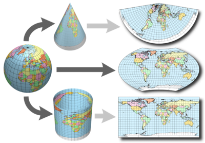
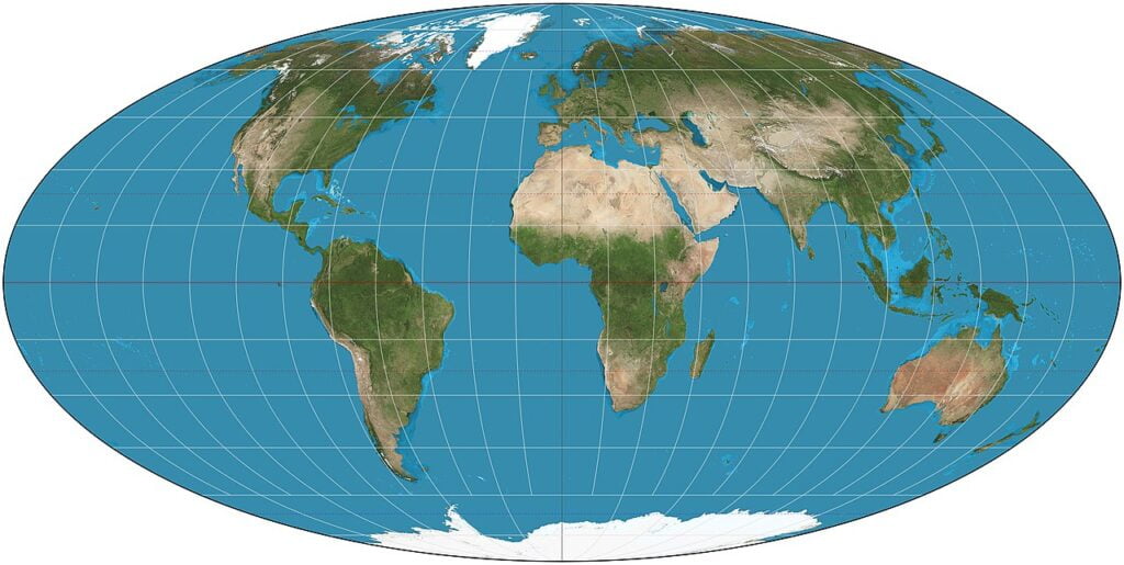
A projected coordinate system is defined on a flat, two-dimensional surface. Unlike a geographic coordinate system, a projected...
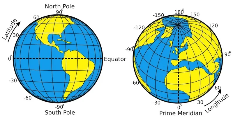
Geographic Coordinate System
The oldest global coordinate system is the Latitude/Longitude system (also referred to as Geographic coordinates). It is the...
Map Projections
Introduction Coordinate systems, also known as map projections, are arbitrary designations for spatial data. Their purpose is to provide a...